Log in
All resources
Create a design
Tools
308,624 Free Images of Pages With Maps
cc-zero
mirabilandia
water
izobilnoe
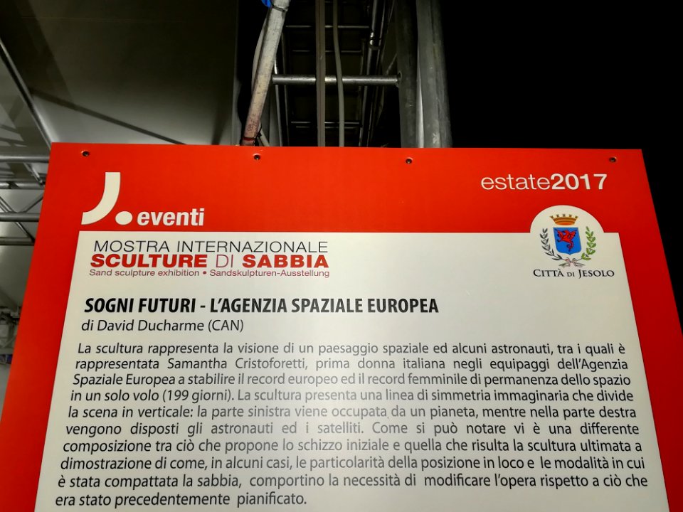
jesolo
turigino
borxleben
katun
kleinbodungen
pfarrhaus kriegshaber
self-published work
pages with maps
self-published work
pages with maps
self-published work
pages with maps
self-published work
pages with maps
self-published work
pages with maps
infusion
people
self-published work
pages with maps
self-published work
pages with maps
self-published work
pages with maps
self-published work
pages with maps
pages with maps
btx
pages with maps
town
pages with maps
banholtergrubbe
self-published work
pages with maps
self-published work
pages with maps
self-published work
pages with maps
self-published work
pages with maps
self-published work
pages with maps
self-published work
pages with maps
self-published work
katun
self-published work
pages with maps
self-published work
pages with maps
self-published work
pages with maps
self-published work
katun
self-published work
pages with maps
self-published work
pages with maps
self-published work
pages with maps
self-published work
pages with maps
self-published work
pages with maps
self-published work
pages with maps
self-published work
pages with maps
self-published work
pages with maps
self-published work
pages with maps
self-published work
pages with maps
self-published work
pages with maps
self-published work
pages with maps
self-published work
pages with maps
self-published work
pages with maps
self-published work
pages with maps
self-published work
pages with maps
self-published work
muggia
self-published work
pages with maps
grass
field
self-published work
pages with maps
pages with maps
water
pages with maps
water
self-published work
pages with maps
self-published work
water
self-published work
pages with maps
self-published work
pages with maps
self-published work
pages with maps
self-published work
pages with maps
self-published work
pages with maps
self-published work
pages with maps
self-published work
pages with maps
self-published work
pages with maps
self-published work
pages with maps
self-published work
pages with maps
self-published work
pages with maps
self-published work
pages with maps
self-published work
pages with maps
self-published work
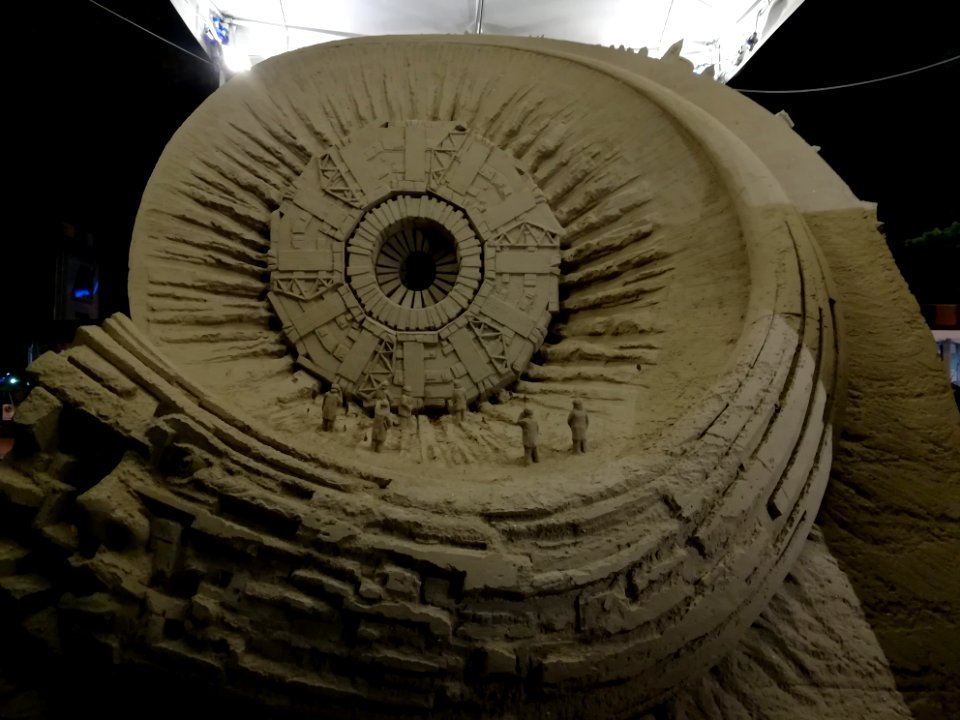
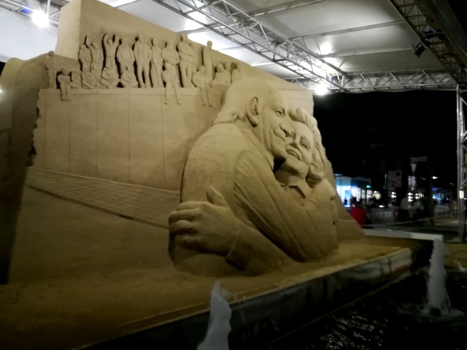
jesolo
self-published work
jesolo
self-published work
jesolo
self-published work
pages with maps
self-published work
pages with maps
self-published work
pages with maps
uploaded with vicuñauploader
pages with maps
self-published work
pages with maps
self-published work
pages with maps
self-published work
pages with maps
self-published work
pages with maps
self-published work
pages with maps
self-published work
pages with maps
self-published work
pages with maps
self-published work
pages with maps
self-published work
pages with maps
self-published work
pages with maps
self-published work
pages with maps
self-published work
pages with maps
pages with maps
pavement
self-published work
pages with maps
self-published work
pages with maps
landscape
rock
landscape
tree
self-published work
pages with maps
self-published work
pages with maps
self-published work
pages with maps
self-published work
pages with maps
pages with maps
rural
self-published work
pages with maps
self-published work
pages with maps
self-published work
pages with maps
architecture
water
architecture
water
self-published work
pages with maps
self-published work
pages with maps
self-published work
pages with maps
self-published work
pages with maps
self-published work
pages with maps
4201 - 4300 of 308,624
Next page
/ 3087